

Granite City topographic map
Click on the map to display elevation.
About this map
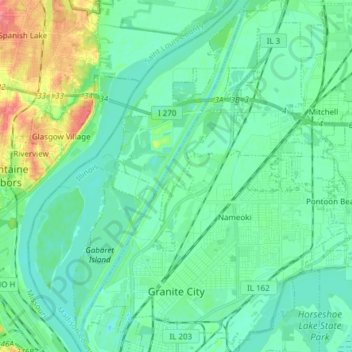
Name: Granite City topographic map, elevation, terrain.
Location: Granite City, Madison County, Illinois, 62040, United States (38.68084 -90.18961 38.79945 -90.07576)
Average elevation: 131 m
Minimum elevation: 116 m
Maximum elevation: 182 m
Other topographic maps
Click on a map to view its topography, its elevation and its terrain.

Maryland Place
United States > Illinois > Madison County > Granite City > Nameoki
Average elevation: 129 m