Geolocate

Guandong topographic map

Click on the map to display elevation.

About this map

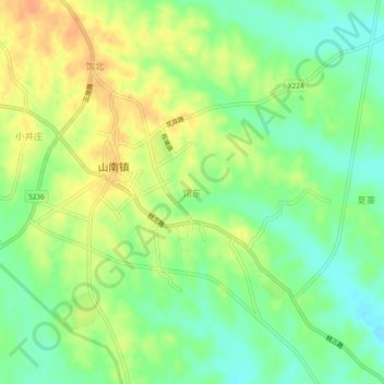
Name: Guandong topographic map, elevation, terrain.

Location: Guandong, Hefei City, Anhui, China (31.60686 116.85829 31.64686 116.89829)

Average elevation: 45 m

Minimum elevation: 26 m

Maximum elevation: 64 m

Gear up for your next adventure:

💡Solar Camping Lamp - Eco-friendly lighting for campsites
🛰️Satellite Messenger - Emergency communication for areas with no cell service
🌡️Emergency Mylar Blankets - Compact thermal protection for unexpected nights outdoors
🧥Insulated Jacket - Keep warm in cold outdoor conditions
🎒Backpack Rain Cover - External shield to keep your entire pack dry

As an Amazon Associate, this site earns from qualifying purchases at no extra cost to you.