Geolocate

Grajegan topographic map

Click on the map to display elevation.

About this map

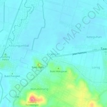
Name: Grajegan topographic map, elevation, terrain.

Location: Grajegan, Sukoharjo, Central Java, 57541, Indonesia (-7.75753 110.75454 -7.71753 110.79454)

Average elevation: 106 m

Minimum elevation: 89 m

Maximum elevation: 204 m

Other topographic maps

Click on a map to view its topography, its elevation and its terrain.

Puron

Indonesia > Central Java > Sukoharjo

Average elevation: 128 m

Bulu

Indonesia > Central Java > Sukoharjo

Average elevation: 126 m

Lapangan Makamhaji

Indonesia > Central Java > Sukoharjo > Gentan > Kuyudan

Average elevation: 104 m

Waduk Mulur

Indonesia > Central Java > Sukoharjo > Bendosari

Average elevation: 114 m

Karangasem

Indonesia > Central Java > Sukoharjo > Karangasem

Average elevation: 115 m

Gear up for your next adventure:

🏕️Camping Hammock - Integrated protection for sleeping between trees
🕶️Polarized Sunglasses - Protect your eyes with durable polarized lenses
🧶550 Survival Paracord - Versatile utility cord for emergency repairs and rigging
❄️Traction Ice Cleats - Slip-on spikes for icy trails and winter hiking
🧦Hiking Liner Socks - Thin base layer to prevent friction and blisters

As an Amazon Associate, this site earns from qualifying purchases at no extra cost to you.