Geolocate

Les Réformés topographic map

Click on the map to display elevation.

About this map
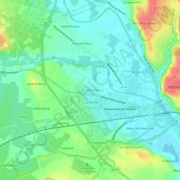
Name: Les Réformés topographic map, elevation, terrain.

Location: Les Réformés, Béziers, Hérault, Occitanie, France métropolitaine, 34500, France (43.32192 3.16705 43.36192 3.20705)

Average elevation: 30 m

Minimum elevation: 8 m

Maximum elevation: 79 m

Other topographic maps

Click on a map to view its topography, its elevation and its terrain.

34500

France > Occitanie > Hérault > Béziers

Average elevation: 43 m

Gear up for your next adventure:

🎒Backpack Rain Cover - External shield to keep your entire pack dry
🧢Sun Hat - Wide-brim hat for sun protection
🧥Packable Rain Jacket - Breathable waterproof layer for unpredictable weather
🧦Hiking Liner Socks - Thin base layer to prevent friction and blisters
🧦Merino Wool Socks - Moisture-wicking comfort for long-distance hiking

As an Amazon Associate, this site earns from qualifying purchases at no extra cost to you.