
Hargaon topographic map
Click on the map to display elevation.
About this map
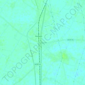
Name: Hargaon topographic map, elevation, terrain.
Location: Hargaon, Sitapur, Uttar Pradesh, 261121, India (27.74826 80.71044 27.78826 80.75044)
Average elevation: 144 m
Minimum elevation: 140 m
Maximum elevation: 150 m