

Mylau topographic map
Click on the map to display elevation.
Mylau
Mylau erstreckt sich über Höhenlagen zwischen 290 und 370 m ü. NN. in den Tälern der Göltzsch und des aus Richtung Reichenbach kommenden Raumbaches. Letzterer ist bei der Bevölkerung vor allem unter der Bezeichnung Seifenbach bekannt, weil sich im 19. Jahrhundert an dessen Bachlauf im Heinsdorfergrund und Reichenbach Textilfärbereien befanden. Der Ort liegt im Osten des Naturraumes Vogtland im sächsischen Teil des historischen Vogtlands. Im äußersten Nordwesten grenzt die Ortsflur an das thüringische Vogtland.
About this map
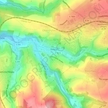
Name: Mylau topographic map, elevation, terrain.
Average elevation: 365 m
Minimum elevation: 296 m
Maximum elevation: 437 m