Geolocate

Gobindapur topographic map

Click on the map to display elevation.

About this map

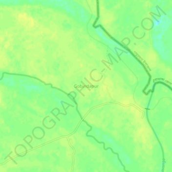
Name: Gobindapur topographic map, elevation, terrain.

Location: Gobindapur, Krishnaganj, Nadia, West Bengal, 741503, India (23.46281 88.70765 23.50281 88.74765)

Average elevation: 12 m

Minimum elevation: 0 m

Maximum elevation: 18 m

Gear up for your next adventure:

🧢Hiking Hat - Sun-protective and breathable hats for long treks
🦶Anti-Blister Balm - Prevents friction and hotspots during long ascents
🌬️Windproof Camp Stove - Efficient cooking even on exposed mountain peaks
🥾Durable Hiking Shoes - Long-lasting shoes for frequent hiking
🦌Outdoor Trail Camera - Monitor wildlife activity near your favorite spots

As an Amazon Associate, this site earns from qualifying purchases at no extra cost to you.