Geolocate

Cohasset topographic map

Click on the map to display elevation.

About this map

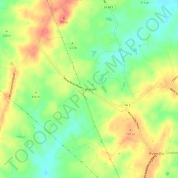
Name: Cohasset topographic map, elevation, terrain.

Location: Cohasset, Fluvanna County, Virginia, 23022, United States (37.74959 -78.32306 37.78959 -78.28306)

Average elevation: 124 m

Minimum elevation: 94 m

Maximum elevation: 155 m

Other topographic maps

Click on a map to view its topography, its elevation and its terrain.

Columbia

United States > Virginia > Fluvanna County

Average elevation: 78 m

Gear up for your next adventure:

🛰️Satellite Messenger - Emergency communication for areas with no cell service
Backpacking Tent - Lightweight tent for long-distance hiking trips
🥫Freeze-Dried Meals - Lightweight, high-calorie nutrition for multi-day treks
🧢Sun Hat - Wide-brim hat for sun protection
🛌Down Sleeping Bag - Superior warmth-to-weight ratio for cold nights

As an Amazon Associate, this site earns from qualifying purchases at no extra cost to you.