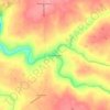
Grant topographic map
Click on the map to display elevation.
Grant
Grant is located in northeastern Marshall County at an elevation of 1,240 feet (380 m) on the plateau of Gunters Mountain. The town is concentrated along County Road 5 (Cathedral Caverns Highway, signed as Main Street in Grant) near the northern edge of Gunters Mountain, though the town includes corridors along CR 5 southward across the mountain to the shore of Guntersville Lake, and eastward along Baker Mountain Road to the edge of the mountain. Grant is 13 miles (21 km) north of Guntersville, 18 miles (29 km) southwest of Scottsboro, and 30 miles (48 km) southeast of Huntsville.
About this map
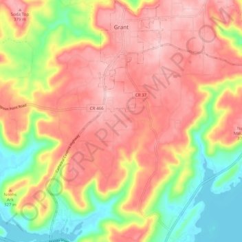
Name: Grant topographic map, elevation, terrain.
Location: Grant, Marshall County, Alabama, 35847, United States (34.45694 -86.28284 34.53772 -86.19252)
Average elevation: 300 m
Minimum elevation: 179 m
Maximum elevation: 392 m
Other topographic maps
Click on a map to view its topography, its elevation and its terrain.