

Krosno topographic map
Click on the map to display elevation.
Krosno
The River Wisłok passes by Krosno. Slovakia is about 35 kilometres (22 mi) south, and Ukraine is about 85 kilometres (53 mi) east of the town. It is located in the heartland of the Doły (Pits), and its average altitude is 310 metres (1,020 ft) above sea level, but some hills are located within the confines of the town.
About this map
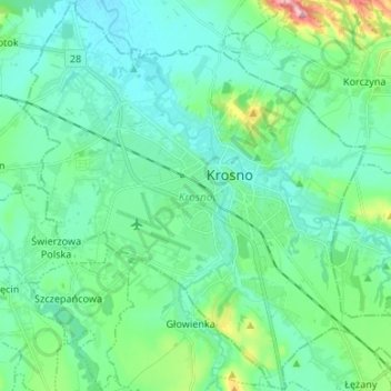
Name: Krosno topographic map, elevation, terrain.
Location: Krosno, Subcarpathian Voivodeship, Poland (49.64654 21.69469 49.73200 21.82795)
Average elevation: 281 m
Minimum elevation: 253 m
Maximum elevation: 396 m