Geolocate

Langrave topographic map

Click on the map to display elevation.

About this map

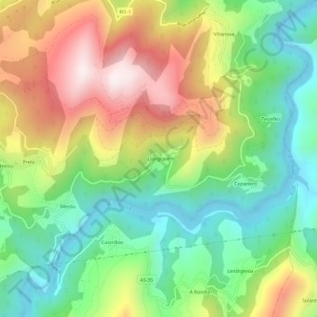
Name: Langrave topographic map, elevation, terrain.

Location: Langrave, Boal, Asturias, 33728, España (43.38804 -6.80344 43.42804 -6.76344)

Average elevation: 311 m

Minimum elevation: 30 m

Maximum elevation: 719 m

Gear up for your next adventure:

🛶Waterproof Dry Bags - Keep electronics and clothes dry during river crossings
🧥Waterproof Pants - Keep dry during rainy hiking conditions
🥾Trail Running Boots - Durable shoes designed for trail running
Backpacking Tent - Lightweight tent for long-distance hiking trips
🥾All-Terrain Hiking Boots - Versatile boots for varied hiking conditions

As an Amazon Associate, this site earns from qualifying purchases at no extra cost to you.