
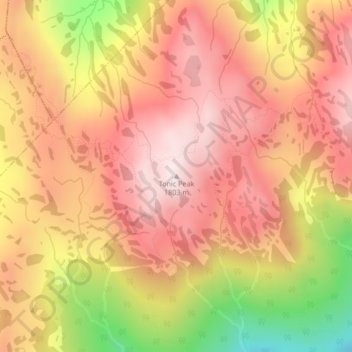
Tonic Peak topographic map
Interactive map
Click on the map to display elevation.
About this map
Name: Tonic Peak topographic map, elevation, terrain.
Average elevation: 1,586 m
Minimum elevation: 1,211 m
Maximum elevation: 1,798 m
Squamish-Lillooet Regional District trails, hiking, mountain biking, running and outdoor activities