
Huyện Ba Tri topographic map
Interactive map
Click on the map to display elevation.
About this map
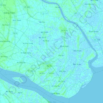
Name: Huyện Ba Tri topographic map, elevation, terrain.
Location: Huyện Ba Tri, Province de Bến Tre, Viêt Nam (9.96064 106.46981 10.18658 106.69881)
Average elevation: 1 m
Minimum elevation: -4 m
Maximum elevation: 7 m
Other topographic maps
Click on a map to view its topography, its elevation and its terrain.
Province de Bến Tre
Viêt Nam > Province de Bến Tre
Province de Bến Tre, Viêt Nam
Average elevation: 1 m
ấp 1
Viêt Nam > Province de Bến Tre > ấp 1
ấp 1, Huyện Thạnh Phú, Province de Bến Tre, Viêt Nam
Average elevation: 1 m