
Kagungan Ratu topographic map
Interactive map
Click on the map to display elevation.
About this map
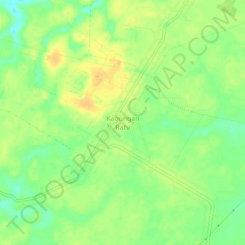
Name: Kagungan Ratu topographic map, elevation, terrain.
Location: Kagungan Ratu, Lampung, Indonesien (-4.58412 105.05346 -4.54412 105.09346)
Average elevation: 33 m
Minimum elevation: 16 m
Maximum elevation: 46 m