Geolocate

Landsmeer topographic map

Click on the map to display elevation.

Landsmeer

Dutch topographic map of the municipality of Landsmeer, June 2015

Wikipedia (CC-BY-SA 3.0)

About this map

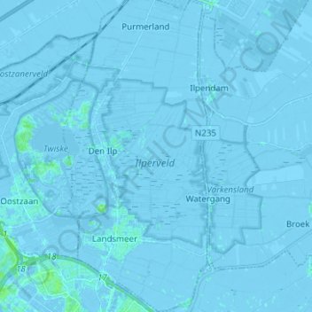
Name: Landsmeer topographic map, elevation, terrain.

Location: Landsmeer, North Holland, Netherlands (52.41161 4.89445 52.48773 4.95088)

Average elevation: -1 m

Minimum elevation: -7 m

Maximum elevation: 7 m

Gear up for your next adventure:

Camping Essentials - All-in-one gear for a comfortable camping trip
💡LED Camping Lantern - Illuminate your campsite with long-lasting lanterns
🛏️Camping Sleeping Mat - Comfortable mats for sleeping outdoors
Bushcraft Tarp - Versatile emergency shelter or gear protection
🚲Heavy Duty Bike Lock - Secure your bike at the trailhead or during stops

As an Amazon Associate, this site earns from qualifying purchases at no extra cost to you.