Geolocate

Forxa topographic map

Click on the map to display elevation.

About this map

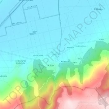
Name: Forxa topographic map, elevation, terrain.

Location: Forxa, Porqueira, Limia, Orense, Galicia, 32643, España (41.99806 -7.86709 42.03806 -7.82709)

Average elevation: 703 m

Minimum elevation: 608 m

Maximum elevation: 977 m

Gear up for your next adventure:

🧥Ultralight Puffy Jacket - Maximum warmth that packs down to the size of an orange
🧥Thermal Layer - Insulating layer for cold outdoor conditions
🩹Compact First Aid Kit - Pre-packed essentials for common trail injuries
🥾Mountaineering Boots - Supportive boots for climbing and high-altitude hiking
🪜Heavy Duty Carabiners - Multi-use clips for securing gear to your backpack

As an Amazon Associate, this site earns from qualifying purchases at no extra cost to you.