Geolocate

Broad Run topographic map

Click on the map to display elevation.

About this map

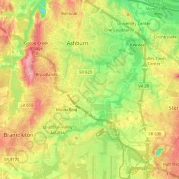
Name: Broad Run topographic map, elevation, terrain.

Location: Broad Run, Ashburn, Loudoun County, Virginia, United States (38.95546 -77.56648 39.07140 -77.43127)

Average elevation: 89 m

Minimum elevation: 37 m

Maximum elevation: 144 m

Gear up for your next adventure:

👟Sport Hiking Sandals - Breathable footwear for water crossings and camp rest
👟Leg Gaiters - Keep debris, mud, and snow out of your boots
💡LED Camping Lantern - Illuminate your campsite with long-lasting lanterns
Lightweight Camping Tent - Portable shelter optimized for Canadian backcountry camping
🥾Trail Hiking Shoes - Durable shoes designed for rugged trails

As an Amazon Associate, this site earns from qualifying purchases at no extra cost to you.