Geolocate

Tianmashan topographic map

Click on the map to display elevation.

About this map

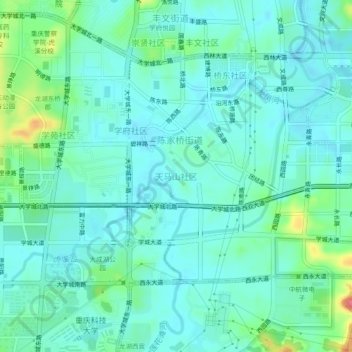
Name: Tianmashan topographic map, elevation, terrain.

Location: Tianmashan, Shapingba District, Chongqing, 401331, China (29.59337 106.31286 29.63337 106.35286)

Average elevation: 292 m

Minimum elevation: 275 m

Maximum elevation: 354 m

Gear up for your next adventure:

🧦Crew Hiking Socks - Comfortable socks for long-distance hikes
🥾Approach Boots - Comfortable boots for hiking and climbing approaches
🧭GPS Tracker - Track your location in remote areas safely
🚲Handlebar Phone Mount - View topographic-map.com live while cycling
🩹Compact First Aid Kit - Pre-packed essentials for common trail injuries

As an Amazon Associate, this site earns from qualifying purchases at no extra cost to you.