
古益 topographic map
Interactive map
Click on the map to display elevation.
About this map
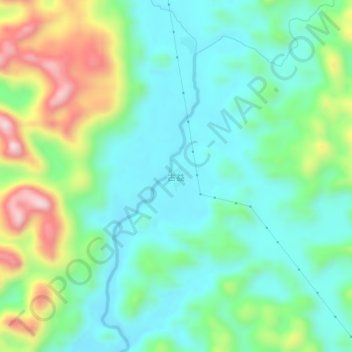
Name: 古益 topographic map, elevation, terrain.
Location: 古益, 融安县, 柳州市, 广西壮族自治区, 中国 (24.78845 109.45359 24.82845 109.49359)
Average elevation: 303 m
Minimum elevation: 191 m
Maximum elevation: 580 m
Other topographic maps
Click on a map to view its topography, its elevation and its terrain.