Geolocate

Barcarrota topographic map

Click on the map to display elevation.

About this map

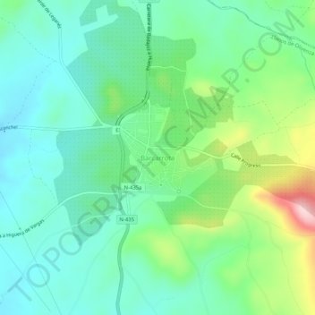
Name: Barcarrota topographic map, elevation, terrain.

Location: Barcarrota, Llanos de Olivenza, Badajoz, Extremadura, España (38.49595 -6.86929 38.53595 -6.82929)

Average elevation: 475 m

Minimum elevation: 407 m

Maximum elevation: 653 m

Gear up for your next adventure:

🧦Hiking Socks - Moisture-wicking and comfortable socks for long hikes
🧤Rechargeable Heated Gloves - Extreme warmth for Canadian winter expeditions
🥾Lightweight Hiking Boots - Boots for comfort and mobility on long hikes
🥾Approach Shoes - Shoes designed for climbing approaches and rugged trails
🦶Anti-Blister Balm - Prevents friction and hotspots during long ascents

As an Amazon Associate, this site earns from qualifying purchases at no extra cost to you.