
Thank you for supporting this site ❤️
Make a donation
Make a donation
Gear up for your next adventure:
As an Amazon Associate, this site earns from qualifying purchases at no extra cost to you.
Tapay topographic map
Click on the map to display elevation.
Thank you for supporting this site ❤️
Make a donation
Make a donation
Gear up for your next adventure:
As an Amazon Associate, this site earns from qualifying purchases at no extra cost to you.
About this map
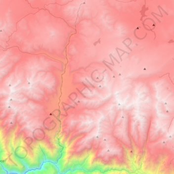
Name: Tapay topographic map, elevation, terrain.
Location: Tapay, Provincia de Caylloma, Arequipa, Perú (-15.60470 -72.00986 -15.24360 -71.85676)
Average elevation: 4,526 m
Minimum elevation: 1,975 m
Maximum elevation: 5,552 m
Thank you for supporting this site ❤️
Make a donation
Make a donation
Gear up for your next adventure:
As an Amazon Associate, this site earns from qualifying purchases at no extra cost to you.