Geolocate

Katy topographic map

Click on the map to display elevation.

About this map

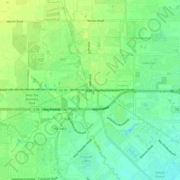
Name: Katy topographic map, elevation, terrain.

Location: Katy, Fort Bend County, Texas, 77493, United States (29.74579 -95.86440 29.82579 -95.78440)

Average elevation: 43 m

Minimum elevation: 35 m

Maximum elevation: 51 m

Gear up for your next adventure:

🔦LED Flashlight - Powerful and long-lasting flashlight for camping and emergencies
🧥Ultralight Puffy Jacket - Maximum warmth that packs down to the size of an orange
🔭Outdoor Binoculars - Lightweight binoculars for birdwatching and hiking
📷Outdoor Action Camera - Capture high-elevation views and rugged adventures
🚲Heavy Duty Bike Lock - Secure your bike at the trailhead or during stops

As an Amazon Associate, this site earns from qualifying purchases at no extra cost to you.