Geolocate

Izamal topographic map

Click on the map to display elevation.

About this map

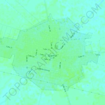
Name: Izamal topographic map, elevation, terrain.

Location: Izamal, Yucatán, Mexico (20.91846 -89.04420 20.95071 -88.99763)

Average elevation: 14 m

Minimum elevation: 10 m

Maximum elevation: 17 m

Gear up for your next adventure:

🚲Bike Repair Kit - Essential tools for on-trail mechanical issues
🕶️Polarized Sunglasses - Protect your eyes with durable polarized lenses
🔦LED Headlamp - Hands-free lighting for early morning starts or late finishes
🥾Mountaineering Boots - Supportive boots for climbing and high-altitude hiking
🔭Outdoor Binoculars - Lightweight binoculars for birdwatching and hiking

As an Amazon Associate, this site earns from qualifying purchases at no extra cost to you.