Geolocate

Chimney Point topographic map

Click on the map to display elevation.

About this map

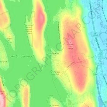
Name: Chimney Point topographic map, elevation, terrain.

Location: Chimney Point, New Milford, Western Connecticut Planning Region, Connecticut, United States (41.48176 -73.46123 41.52176 -73.42123)

Average elevation: 142 m

Minimum elevation: 62 m

Maximum elevation: 255 m

Other topographic maps

Click on a map to view its topography, its elevation and its terrain.

Gear up for your next adventure:

🛰️Satellite Messenger - Emergency communication for areas with no cell service
🥾Hiking Boots - Sturdy boots providing ankle support and traction on rugged trails
🧴Bear Spray Holster - Quick-access carry for essential Canadian wilderness safety
💡Portable Camping Lamp - Rechargeable lamp for campsite lighting
🥾Trekking Boots - Durable boots for long-distance trekking

As an Amazon Associate, this site earns from qualifying purchases at no extra cost to you.