Geolocate

Marinara topographic map

Click on the map to display elevation.

About this map

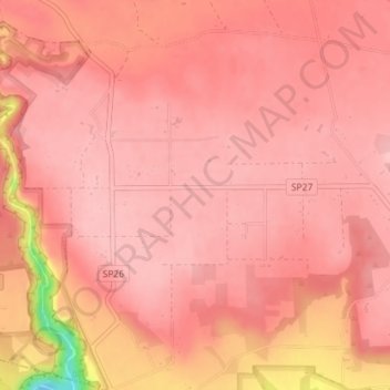
Name: Marinara topographic map, elevation, terrain.

Location: Marinara, Mottola, Taranto, Apulia, 74018, Italy (40.62989 16.97728 40.64989 16.99728)

Average elevation: 261 m

Minimum elevation: 140 m

Maximum elevation: 283 m

Gear up for your next adventure:

🏃Hydration Running Vest - Carry water and maps close to your body for speed
🥾Waterproof Hiking Boots - Boots keeping your feet dry in wet conditions
🧴Sunscreen SPF - Broad-spectrum sunscreen for outdoor activities
🧥Packable Rain Jacket - Breathable waterproof layer for unpredictable weather
🧭GPS Handheld Device - Reliable GPS navigation for outdoor adventures

As an Amazon Associate, this site earns from qualifying purchases at no extra cost to you.