Geolocate

Yeehaw Junction topographic map

Click on the map to display elevation.

About this map

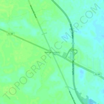
Name: Yeehaw Junction topographic map, elevation, terrain.

Location: Yeehaw Junction, Osceola County, Florida, United States (27.67978 -80.92432 27.71978 -80.88432)

Average elevation: 21 m

Minimum elevation: 15 m

Maximum elevation: 26 m

Gear up for your next adventure:

🧦Outdoor Socks - Durable socks designed for hiking and outdoor sports
🕶️Polarized Sunglasses - Protect your eyes with durable polarized lenses
🥾Trail Running Boots - Durable shoes designed for trail running
🛌Down Sleeping Bag - Superior warmth-to-weight ratio for cold nights
🎒Backpack Rain Cover - External shield to keep your entire pack dry

As an Amazon Associate, this site earns from qualifying purchases at no extra cost to you.