
Make a donation
Gear up for your next adventure:
As an Amazon Associate, this site earns from qualifying purchases at no extra cost to you.
Third Canyon topographic map
Click on the map to display elevation.
Make a donation
Gear up for your next adventure:
As an Amazon Associate, this site earns from qualifying purchases at no extra cost to you.
About this map
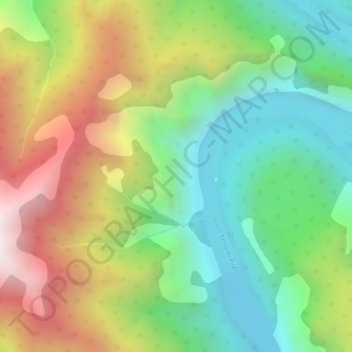
Name: Third Canyon topographic map, elevation, terrain.
Location: Third Canyon, Dehcho Region, Northwest Territories, Canada (61.40413 -124.96756 61.40423 -124.96746)
Average elevation: 739 m
Minimum elevation: 314 m
Maximum elevation: 1,380 m
Dehcho Region trails, hiking, mountain biking, running and outdoor activities
Make a donation
Gear up for your next adventure:
As an Amazon Associate, this site earns from qualifying purchases at no extra cost to you.
Other topographic maps
Click on a map to view its topography, its elevation and its terrain.
Jean Marie River
Canada > Northwest Territories > Dehcho Region > Jean Marie River
Average elevation: 142 m
Make a donation
Gear up for your next adventure:
As an Amazon Associate, this site earns from qualifying purchases at no extra cost to you.
Make a donation
Gear up for your next adventure:
As an Amazon Associate, this site earns from qualifying purchases at no extra cost to you.