
Cummock Island topographic map
Click on the map to display elevation.
About this map
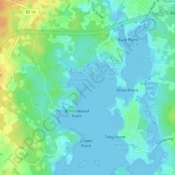
Name: Cummock Island topographic map, elevation, terrain.
Average elevation: 9 m
Minimum elevation: -5 m
Maximum elevation: 35 m
Other topographic maps
Click on a map to view its topography, its elevation and its terrain.
West Kingston
United States > Rhode Island > South County > South Kingstown > West Kingston
Average elevation: 41 m