
Sint-Oedenrode topographic map
Interactive map
Click on the map to display elevation.
About this map
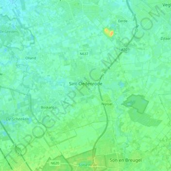
Name: Sint-Oedenrode topographic map, elevation, terrain.
Location: Sint-Oedenrode, Meierijstad, Nordbrabant, Niederlande (51.52130 5.38053 51.60542 5.55069)
Average elevation: 12 m
Minimum elevation: 6 m
Maximum elevation: 29 m