Geolocate

Tierra Verde topographic map

Click on the map to display elevation.

About this map

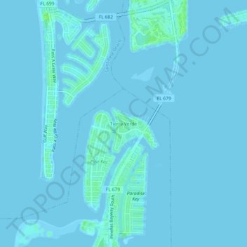
Name: Tierra Verde topographic map, elevation, terrain.

Location: Tierra Verde, Pinellas County, Florida, 33715, United States (27.67197 -82.74343 27.71197 -82.70343)

Average elevation: 1 m

Minimum elevation: -2 m

Maximum elevation: 10 m

Gear up for your next adventure:

🗺️Topographic Maps - Detailed maps to explore trails, mountains, and wilderness areas
🧢Sun Protection Cap - Breathable cap to protect from sun exposure
👟Leg Gaiters - Keep debris, mud, and snow out of your boots
🧥Ultralight Puffy Jacket - Maximum warmth that packs down to the size of an orange
🥾Trail Hiking Boots - Supportive boots for rough trails

As an Amazon Associate, this site earns from qualifying purchases at no extra cost to you.