Geolocate

Lochleven topographic map

Click on the map to display elevation.

About this map

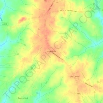
Name: Lochleven topographic map, elevation, terrain.

Location: Lochleven, Lunenburg County, Virginia, United States (36.85043 -78.06611 36.89043 -78.02611)

Average elevation: 126 m

Minimum elevation: 100 m

Maximum elevation: 144 m

Gear up for your next adventure:

🧥Ultralight Puffy Jacket - Maximum warmth that packs down to the size of an orange
🥽Outdoor Goggles - Protective eyewear for outdoor activities
🦶Anti-Blister Balm - Prevents friction and hotspots during long ascents
Lightweight Backpacking Tent - Compact tent for efficient hiking trips
🔪Outdoor Multitool - Versatile tool for repairs and food prep in the wild

As an Amazon Associate, this site earns from qualifying purchases at no extra cost to you.