
Chigwell topographic map
Interactive map
Click on the map to display elevation.
About this map
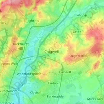
Name: Chigwell topographic map, elevation, terrain.
Location: Chigwell, Essex, East of England, Engeland, IG7 6LP, VK (51.58238 0.04107 51.66238 0.12107)
Average elevation: 45 m
Minimum elevation: 8 m
Maximum elevation: 114 m