Geolocate

Inarado topographic map

Click on the map to display elevation.

About this map

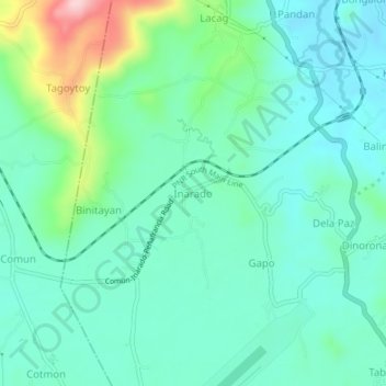
Name: Inarado topographic map, elevation, terrain.

Location: Inarado, Daraga, Albay, Bicol Region, 4501, Philippines (13.11650 123.65863 13.15650 123.69863)

Average elevation: 105 m

Minimum elevation: 54 m

Maximum elevation: 273 m

Gear up for your next adventure:

👖Convertible Hiking Pants - Zip-off legs to adapt to changing weather conditions
🧥Insulated Jacket - Keep warm in cold outdoor conditions
🥾Durable Hiking Shoes - Long-lasting shoes for frequent hiking
🥘Camping Cookware Set - Compact nesting pots and pans for trail cooking
❄️Traction Ice Cleats - Slip-on spikes for icy trails and winter hiking

As an Amazon Associate, this site earns from qualifying purchases at no extra cost to you.