Geolocate

El Castañar topographic map

Click on the map to display elevation.

About this map

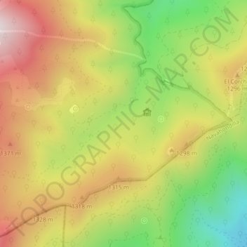
Name: El Castañar topographic map, elevation, terrain.

Location: El Castañar, El Tiemblo, Ávila, Castilla y León, 05428, España (40.34379 -4.52805 40.36379 -4.50805)

Average elevation: 1,192 m

Minimum elevation: 797 m

Maximum elevation: 1,567 m

Gear up for your next adventure:

🧴First Aid Kit - Essential first aid supplies for outdoor emergencies
🥾Trekking Poles - Adjustable trekking poles to reduce knee stress and improve stability
🚲Heavy Duty Bike Lock - Secure your bike at the trailhead or during stops
🔭Compact Binoculars - Lightweight optics for scouting trails and wildlife
🧥Waterproof Pants - Keep dry during rainy hiking conditions

As an Amazon Associate, this site earns from qualifying purchases at no extra cost to you.