Geolocate

Kelimutu topographic map

Click on the map to display elevation.

About this map

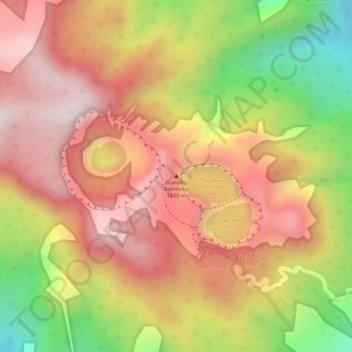
Name: Kelimutu topographic map, elevation, terrain.

Location: Kelimutu, Ende, East Nusa Tenggara, 86373, Indonesia (-8.76522 121.81329 -8.76512 121.81339)

Average elevation: 1,469 m

Minimum elevation: 1,132 m

Maximum elevation: 1,680 m

Other topographic maps

Click on a map to view its topography, its elevation and its terrain.

Lembata

Indonesia > East Nusa Tenggara > Lembata

Average elevation: 58 m

Gear up for your next adventure:

🥘Camping Cookware Set - Compact nesting pots and pans for trail cooking
🧰Multitool Knife - Compact and versatile tool for outdoor use
📷Outdoor Action Camera - Capture high-elevation views and rugged adventures
🥾Mountain Hiking Shoes - Shoes with superior grip for mountainous terrain
🧢Outdoor Cap - Protective cap for sun and rain during hikes

As an Amazon Associate, this site earns from qualifying purchases at no extra cost to you.