
Make a donation
Gear up for your next adventure:
As an Amazon Associate, this site earns from qualifying purchases at no extra cost to you.
Alpe sn1 topographic map
Click on the map to display elevation.
Make a donation
Gear up for your next adventure:
As an Amazon Associate, this site earns from qualifying purchases at no extra cost to you.
About this map
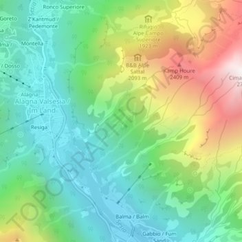
Name: Alpe sn1 topographic map, elevation, terrain.
Location: Alpe sn1, Alagna Valsesia, Vercelli, Piemonte, 13021, Italia (45.83950 7.93986 45.85950 7.95986)
Average elevation: 1,611 m
Minimum elevation: 1,085 m
Maximum elevation: 2,680 m
Make a donation
Gear up for your next adventure:
As an Amazon Associate, this site earns from qualifying purchases at no extra cost to you.
Other topographic maps
Click on a map to view its topography, its elevation and its terrain.
Parco naturale dell'Alta Val Sesia e dell'Alta Val Strona
Italia > Piemonte > Vercelli > Alagna Valsesia
Ancora più in basso si trovano lariceti e boschi (larice), sempre più fitti con il diminuire dell'altitudine, intervallati da ampi pascoli subalpini (avena dorata, bistorta, alchemilla, acetosa, trifoglio, ecc.).
Average elevation: 2,352 m