
Make a donation
Gear up for your next adventure:
As an Amazon Associate, this site earns from qualifying purchases at no extra cost to you.
Godby topographic map
Click on the map to display elevation.
Make a donation
Gear up for your next adventure:
As an Amazon Associate, this site earns from qualifying purchases at no extra cost to you.
About this map
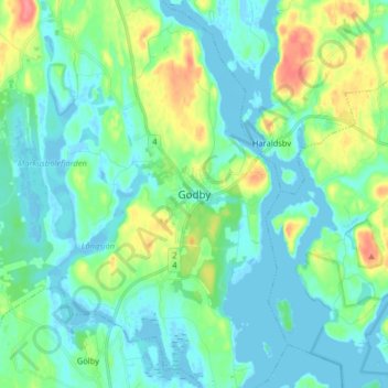
Name: Godby topographic map, elevation, terrain.
Average elevation: 15 m
Minimum elevation: -7 m
Maximum elevation: 62 m
Make a donation
Gear up for your next adventure:
As an Amazon Associate, this site earns from qualifying purchases at no extra cost to you.
Other topographic maps
Click on a map to view its topography, its elevation and its terrain.
Märket
Finland > Åland Islands > Åland Islands > Hammarland
The island consists of mostly smooth diabase rock, with a maximum natural elevation of 2 m (6.6 ft). Most of the area is regularly washed over with seawater in storms, and scoured by drift ice in winter. Plant life, which is limited to low-growing grasses and herbs, persists only in some protected spots.…
Average elevation: 0 m
Make a donation
Gear up for your next adventure:
As an Amazon Associate, this site earns from qualifying purchases at no extra cost to you.