Geolocate

Paligui topographic map

Click on the map to display elevation.

About this map

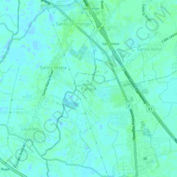
Name: Paligui topographic map, elevation, terrain.

Location: Paligui, Apalit, Pampanga, Central Luzon, 2016, Philippines (14.95650 120.72707 14.99650 120.76707)

Average elevation: 3 m

Minimum elevation: -2 m

Maximum elevation: 6 m

Gear up for your next adventure:

🪑Ultralight Camping Stool - Compact seating for rest stops during long hikes
🎒Fully Waterproof Backpack - Total protection for photography gear and electronics
🗺️Topographic Maps - Detailed maps to explore trails, mountains, and wilderness areas
🧴Outdoor Sunscreen - High SPF protection for high-altitude UV exposure
🧦Hiking Socks - Moisture-wicking and comfortable socks for long hikes

As an Amazon Associate, this site earns from qualifying purchases at no extra cost to you.