Geolocate

Mesillas topographic map

Click on the map to display elevation.

About this map
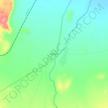
Name: Mesillas topographic map, elevation, terrain.

Location: Mesillas, Ramos Arizpe, Coahuila, Mexico (25.78312 -101.00990 25.82312 -100.96990)

Average elevation: 926 m

Minimum elevation: 890 m

Maximum elevation: 1,010 m

Gear up for your next adventure:

🌬️Windproof Camp Stove - Efficient cooking even on exposed mountain peaks
🚲Heavy Duty Bike Lock - Secure your bike at the trailhead or during stops
🧭GPS Tracker - Track your location in remote areas safely
🕶️Polarized Sunglasses - Reduces glare from snow and water at high elevations
🛶Kayak Accessories - Essential gear for safe and fun kayaking adventures

As an Amazon Associate, this site earns from qualifying purchases at no extra cost to you.