
La Fortuna topographic map
Interactive map
Click on the map to display elevation.
About this map
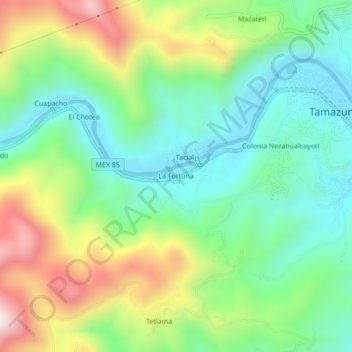
Name: La Fortuna topographic map, elevation, terrain.
Location: La Fortuna, Tamazunchale, San Luis Potosí, 79960, México (21.23456 -98.83133 21.27456 -98.79133)
Average elevation: 362 m
Minimum elevation: 113 m
Maximum elevation: 833 m