Geolocate

Polaris topographic map

Click on the map to display elevation.

About this map
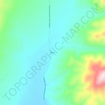
Name: Polaris topographic map, elevation, terrain.

Location: Polaris, Beaverhead County, Montana, United States (45.34965 -113.13949 45.38965 -113.09949)

Average elevation: 2,016 m

Minimum elevation: 1,910 m

Maximum elevation: 2,369 m

Gear up for your next adventure:

💧Hydration Bladder - Hands-free hydration solution for long treks
🥾Trail Running Boots - Durable shoes designed for trail running
🥾Trail Hiking Shoes - Durable shoes designed for rugged trails
🔦UV Flashlight - Detect minerals or specific insects in the dark
🎒Fully Waterproof Backpack - Total protection for photography gear and electronics

As an Amazon Associate, this site earns from qualifying purchases at no extra cost to you.