
Thank you for supporting this site ❤️
Make a donation
Make a donation
Gear up for your next adventure:
As an Amazon Associate, this site earns from qualifying purchases at no extra cost to you.
Polaris topographic map
Click on the map to display elevation.
Thank you for supporting this site ❤️
Make a donation
Make a donation
Gear up for your next adventure:
As an Amazon Associate, this site earns from qualifying purchases at no extra cost to you.
About this map
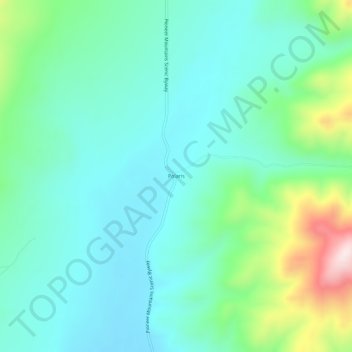
Name: Polaris topographic map, elevation, terrain.
Location: Polaris, Beaverhead County, Montana, United States (45.34965 -113.13949 45.38965 -113.09949)
Average elevation: 2,016 m
Minimum elevation: 1,910 m
Maximum elevation: 2,369 m
Thank you for supporting this site ❤️
Make a donation
Make a donation
Gear up for your next adventure:
As an Amazon Associate, this site earns from qualifying purchases at no extra cost to you.