
Río Verdugo topographic map
Interactive map
Click on the map to display elevation.
About this map
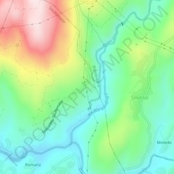
Name: Río Verdugo topographic map, elevation, terrain.
Location: Río Verdugo, Soutomaior, Pontevedra, Galicia, 36691, España (42.34220 -8.57708 42.36527 -8.54270)
Average elevation: 161 m
Minimum elevation: 1 m
Maximum elevation: 468 m