Geolocate

Tilburg topographic map

Click on the map to display elevation.

About this map

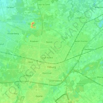
Name: Tilburg topographic map, elevation, terrain.

Location: Tilburg, North Brabant, Netherlands (51.52950 4.94785 51.61785 5.13545)

Average elevation: 13 m

Minimum elevation: 1 m

Maximum elevation: 39 m

Other topographic maps

Click on a map to view its topography, its elevation and its terrain.

Berkhoek

Netherlands > North Brabant > Udenhout

Average elevation: 11 m

Gear up for your next adventure:

💧Reusable Water Bottle - Durable water bottles for hydration on trails
🛶Waterproof Dry Bags - Keep electronics and clothes dry during river crossings
🧦Thermal Socks - Warm socks for winter hiking or camping
🧣Merino Neck Gaiter - Protects against wind, sun, and cold at high altitudes
🛁Quick-Dry Microfiber Towel - Space-saving towel that dries rapidly on the move

As an Amazon Associate, this site earns from qualifying purchases at no extra cost to you.