Geolocate

Andretta topographic map

Click on the map to display elevation.

About this map
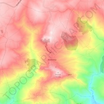
Name: Andretta topographic map, elevation, terrain.

Location: Andretta, Avellino, Campania, Italy (40.90979 15.28225 40.97757 15.37564)

Average elevation: 727 m

Minimum elevation: 436 m

Maximum elevation: 905 m

Gear up for your next adventure:

🧢Hiking Sun Hat - Wide-brimmed protection for exposed mountain ridges
🧥Thermal Fleece Jacket - Versatile insulation for changing mountain temperatures
🔦LED Flashlight - Powerful and long-lasting flashlight for camping and emergencies
💡LED Headlamp - Hands-free illumination for night hiking and camping
💡Compact LED Flashlight - Powerful and portable flashlight for outdoor use

As an Amazon Associate, this site earns from qualifying purchases at no extra cost to you.