Geolocate

Prescott topographic map

Click on the map to display elevation.

Prescott

Prescott is in the Bradshaw Mountains of central Arizona, at an elevation of 5,400 feet (1,600 m). The city has a Mediterranean climate (Köppen Csa); however, unlike most other locations in this climate class, there is a pronounced summer wet season due to the North American Monsoon.

About this map
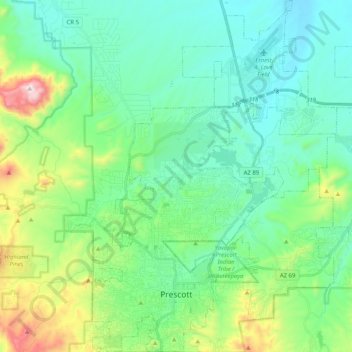
Name: Prescott topographic map, elevation, terrain.

Location: Prescott, Yavapai County, Arizona, United States of America (34.51254 -112.52996 34.67994 -112.37610)

Average elevation: 1,674 m

Minimum elevation: 1,486 m

Maximum elevation: 2,302 m

Gear up for your next adventure:

🥾Trekking Boots - Durable boots for long-distance trekking
🥾Mountain Hiking Boots - High-traction boots for rocky terrain
🧊Portable Cooler - Keep food and drinks cold during outdoor adventures
🥾Trekking Poles - Adjustable trekking poles to reduce knee stress and improve stability
🧴First Aid Kit - Essential first aid supplies for outdoor emergencies

As an Amazon Associate, this site earns from qualifying purchases at no extra cost to you.