Geolocate

Bosco topographic map

Click on the map to display elevation.

About this map

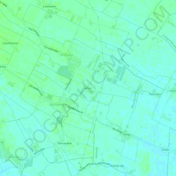
Name: Bosco topographic map, elevation, terrain.

Location: Bosco, Presina, Albaredo d'Adige, Verona, Veneto, 37040, Italy (45.27044 11.29355 45.31044 11.33355)

Average elevation: 20 m

Minimum elevation: 16 m

Maximum elevation: 24 m

Gear up for your next adventure:

🛶Canoe Life Vest - Safety vest for water sports
🚲Bike Repair Kit - Essential tools for on-trail mechanical issues
🔭Compact Monocular - One-handed bird watching and trail spotting
Camping Coffee Maker - Brew fresh coffee anywhere on the topographic map
🩹Moleskin Blister Pads - Direct protection for painful foot pressure points

As an Amazon Associate, this site earns from qualifying purchases at no extra cost to you.