
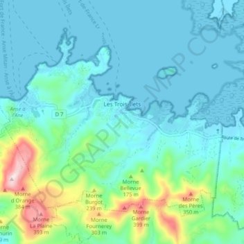
Les Trois-Îlets topographic map
Interactive map
Click on the map to display elevation.
About this map
Name: Les Trois-Îlets topographic map, elevation, terrain.
Location: Les Trois-Îlets, Le Marin, Martinique, 97229, Frankrijk (14.50352 -61.07991 14.56226 -61.00113)
Average elevation: 79 m
Minimum elevation: -3 m
Maximum elevation: 443 m