
Airway Heights topographic map
Click on the map to display elevation.
Airway Heights
The community lies in the northeastern corner of the flat Columbia Plateau. While the plateau tends to be flat, the terrain locally is quite rugged as it is part of the Channeled Scablands. The "heights" in the city's name references its location at a higher elevation than the city center of Spokane. Traveling into Airway Heights along U.S. Route 2, the main road into the city, from Downtown Spokane, one will climb over 500 feet.
About this map
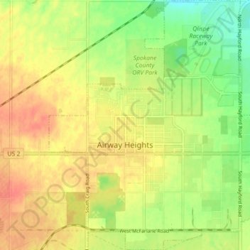
Name: Airway Heights topographic map, elevation, terrain.
Average elevation: 724 m
Minimum elevation: 699 m
Maximum elevation: 743 m
Other topographic maps
Click on a map to view its topography, its elevation and its terrain.