Geolocate

Macclenny topographic map

Click on the map to display elevation.

About this map
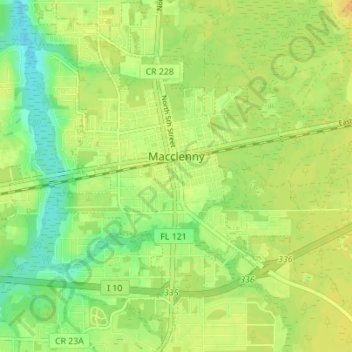
Name: Macclenny topographic map, elevation, terrain.

Location: Macclenny, Baker County, Florida, 32063, United States (30.24883 -82.14989 30.30859 -82.09967)

Average elevation: 39 m

Minimum elevation: 23 m

Maximum elevation: 51 m

Gear up for your next adventure:

🧴Bear Spray Holster - Quick-access carry for essential Canadian wilderness safety
🚑Survival Whistle - Signal for help across long distances in mountains
🛌Insulated Sleeping Pad - Critical thermal barrier between you and the cold ground
🧥Waterproof Pants - Keep dry during rainy hiking conditions
🛏️Camping Sleeping Mat - Comfortable mats for sleeping outdoors

As an Amazon Associate, this site earns from qualifying purchases at no extra cost to you.